
First AI mapping of UK’s gardens reveals disparity in access and need for better provision
Compiled by leading scientists and horticulturists, the RHS State of Gardening Report 2025 is the first in-depth look at gardening’s impact on health, communities, the economy and the environment
The RHS State of Gardening 2025 paints a picture of a hugely popular practice already benefitting people and planet, but with the potential to reap far greater environmental and societal reward if better understood, recognised and supported by policymakers.
The RHS, working in collaboration with Gentian, assessed ultra-high resolution satellite imagery and used AI and machine learning algorithm technology to provide precise insights into cultivated green space across Britain. This included form and function, such as number of trees, ponds and ground cover.
Researchers plotted 25.8 million gardens in Great Britain, amounting to 959,800 hectares or 4.6% of the total land area. The provision of gardens and green space varies across the UK, with 41% of London’s total area categorised as garden, compared to just 27% of Cardiff, 25% of Edinburgh and 19% of Leeds.
Of the 25.8 million total gardens in Britain, 20.6 million are domestic gardens (front and/or back), accounting for 502,757 hectares.
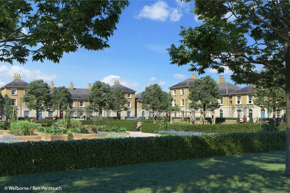Welborne-Ben-Pentreath-940x627.jpg?width=940&height=627&ext=.jpg)
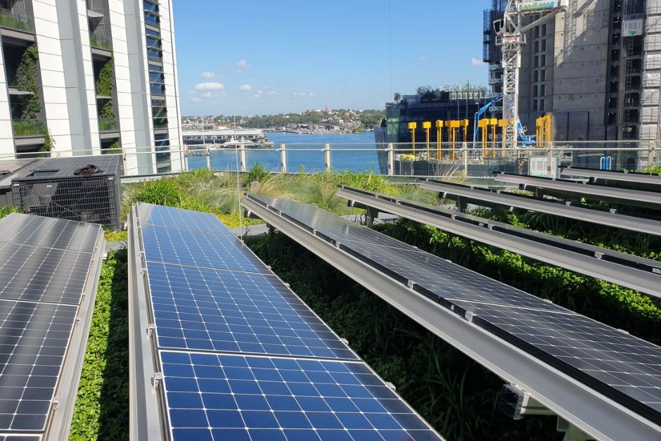Peter-Irga-940x627.jpg?width=940&height=627&ext=.jpg)